Somebody just turned 1,300 square miles of the San Francisco Bay Area into a giant piece of pixel art, and you can scroll from Apple Park to UC Berkeley as if the whole region were a late-1990s city-builder game.
The map is called Isometric SF. Its maker, developer Justin Chavez, posted it to Hacker News as a “Show HN” project this week, where it had collected 160 points and 58 comments when Badiyaa checked. It is not hand-drawn: Chavez is upfront that AI image models painted every tile, and he published a long write-up explaining exactly how.
A SimCity 3000 Bay Area
The look borrows from SimCity 3000, the same style Andy Coenen used for Isometric NYC, which Chavez credits for the idea. The camera faces east rather than north, tilted 30 degrees below the horizon, so the Pacific coast of the Peninsula sits in front and buildings stand up off the land.
That choice has casualties. Chavez notes that some landmarks get hidden behind others at that angle, and offers a short apology to the Ferry Building.
How a computer painted the Bay
The raw material is Google’s Photorealistic 3D Tiles, the 3D mesh of the real landscape. Chavez rendered every patch of it from his chosen angle, then built a chain of AI models to repaint those renders:
- A large commercial image model (Nano Banana 2) redrew a set of sample renders as pixel art. He checked each one by eye and threw out errors, such as a blank rooftop that came back with writing on it.
- Those pairs trained an open model, Qwen Image Edit 2511, to copy the style for prototyping.
- That model in turn painted 1,460 training images for a much smaller production model, FLUX.2 Klein 4B, which painted the final map.
In his own summary, a frontier model taught a 20-billion-parameter model, which taught a 4-billion-parameter one. On an H100 graphics card, the small model took about 1 second per tile against about 3.9 seconds for the prototype. Chavez says doing the whole map with the big commercial model would have cost around $7,000.
The numbers behind the map
Chavez lists about 119 H100-hours to paint the land, or about 172 counting every experiment. Spread over 1,300 square miles, 119 hours works out to roughly 5.5 minutes of top-end GPU time per square mile. He also filled three terabytes of external drives along the way.
Water was not painted at all. He laid the sea and the Bay in one flat color from OpenStreetMap data, which let him skip about 16% of the map, then restored bridge cables that the overlay had erased.
The bugs were the best part
Early test runs came out too green, and downtown sidewalks turned a neon shade he compares to something out of Dr. Seuss. Google’s aerial photos were also taken on different days and seasons, so neighboring patches clashed. Chavez wrote color-correction code for hills and forests, and invented what he calls “hemming”: a narrow fade of about 64 pixels where tiles meet, instead of the usual 512-pixel blend, so each tile can still be repainted on its own.
The map joins a run of “explore your city like a game” projects, and the Bay Area keeps showing up in our coverage, most recently the Los Angeles worker who flies to her San Francisco office up to 10 times a month. More odd corners of the internet are in our Offbeat section.
Chavez closed his guide with a question to readers that doubles as a challenge, asking which city they plan to draw next. The live map is at isometricsf.com.
Further reading
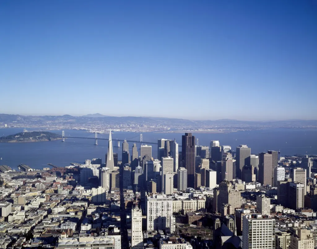
Image: Carol M. Highsmith, Public domain via Wikimedia Commons
This article was produced with AI assistance and reviewed by our Editorial Desk. How we work.