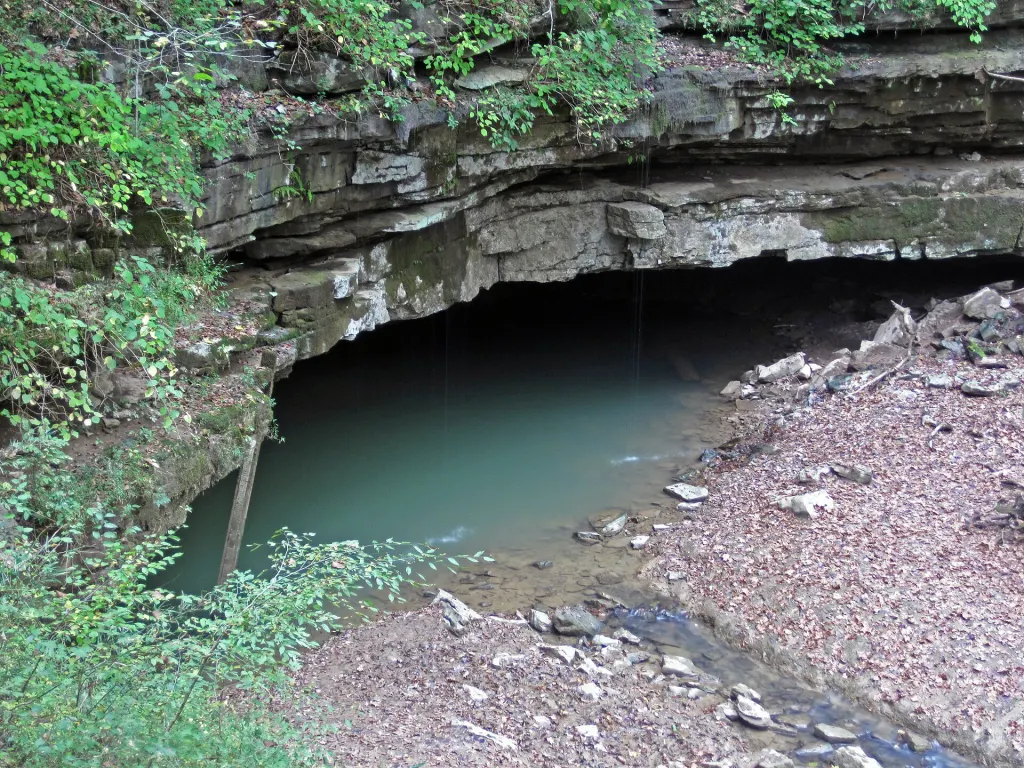
About 60% of the land that feeds water into Mammoth Cave, the longest known cave system in the world, lies outside Mammoth Cave National Park, according to a published summary of work by hydrologists who compiled more than 700 dye traces of the Kentucky aquifer. Chris Groves of Western Kentucky University, Joe Meiman of the national park and Shannon Herstein reported the tally in the U.S. Geological Survey’s 2001 Karst Interest Group proceedings, and the finding still shapes how the park is protected today.
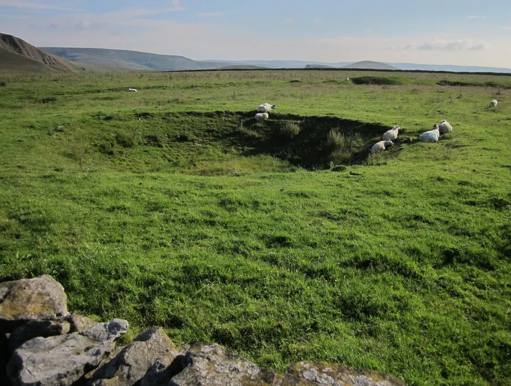
That share matters because of how water moves here. Mammoth Cave sits in karst: limestone country dissolved by slightly acidic water into sinkholes, sinking streams and conduits. The National Park Service puts it plainly: rain on this ground “goes quickly into sinkholes and into the groundwater.” Whatever is on the surface goes with it.
How 700 dye traces mapped water nobody can see
The method is simple in principle. Researchers pour a harmless fluorescent dye, usually fluorescein or rhodamine WT, into a sinkhole or a stream at the point where it vanishes underground, often with extra water to flush it in. They then hang small mesh bags of activated charcoal at springs and in cave streams. The charcoal soaks up any dye that passes, and lab analysis can detect even trace amounts weeks later. The US Geological Survey notes that the dyes are chosen so they will not react with other substances or harm the ecosystem.
Each positive result is one line on a map: water entering here comes out there. Hundreds of lines together reveal groundwater basins, the underground catchments that drain to particular springs. The first major map of these basins, by park hydrogeologist James Quinlan and Joseph Ray, appeared in 1981 and was revised in 1989. In 1999, Groves, Meiman and Herstein began a long-term program of tracing inside the cave itself, injecting dye in underground streams and recovering it at in-cave stations to pin down where one basin ends and the next begins.
Their summary of the aquifer was striking for a place so thoroughly studied. With over 700 traces, they wrote, it is “perhaps the best understood conduit flow network in the world,” and they also concluded that much more work was needed.
One basin of 94 square miles outranks the whole park
The main catchment draining toward the park empties at Turnhole Spring. That basin spans roughly 94 square miles (244 square kilometers), taking in Park City and some of Cave City. The park itself covers 52,007 acres. Divide that by 640 acres per square mile and the park comes to about 81 square miles (210 square kilometers), so this single basin is roughly 16% larger than the entire national park above the cave.
That arithmetic explains the concern. Farms, roads and towns upslope sit directly on the cave’s plumbing. The park service names crop and lawn chemicals, sewage, manure and accidental spills among the threats. In a 1989 report for the US Environmental Protection Agency, Quinlan estimated that one spill on the south side of the Green River might surface at up to 52 separate springs, spread over 12 miles (19 kilometers) of riverbank. On ordinary ground, responders can see which way a spill flows and lay floating booms across a stream; in karst, the National Park Service notes, the chemical can drop out of sight into a sinkhole and travel where nobody can follow.
The traces have already changed local decisions. In-cave tracing showed that water from Park City, which then had no sewers, could overflow toward the habitat of the endangered Kentucky cave shrimp, Palaemonias ganteri, found only in the lowest cave levels nearby. That evidence supported plans for a regional sewer system.
Why 700 traces still leave the basin lines blurry
The 60% figure dates from 2001, and the authors were candid about its limits. Basin divides are usually drawn as lines on a map, but underground they are three-dimensional surfaces, and with the traces available at the time many regional divides were “only approximately defined.” Those gaps are most serious near towns and highways, exactly where spills are likeliest. In-cave tracing fills them in, but it is slow, because every test means crews returning underground to collect charcoal from recovery points.
There is also no single “original source,” whatever some recent coverage implies. The cave is fed by several basins, and its passages run across more than one of them; the 2001 paper names that as one reason the system grew so long. Each trace answers one narrow question about one sinkhole, so the overall picture is a mosaic, sharpened one dye injection at a time.
What protects the cave now
The park cannot regulate the land outside its boundary, so it works through the Mammoth Cave Biosphere Region, whose 909,328 acres surround the park, to encourage practices that keep pollutants out of sinkholes. Inside the park, stormwater from the hotel and visitor center parking lots, used by hundreds of thousands of cars a year, now runs through filter areas before it can reach the passages below. Mapping continues as well: as of 2025 more than 426 miles (686 kilometers) of passage had been surveyed, and new connections add several miles a year.
Further reading
- Groves, Meiman and Herstein (2001): In-Cave Dye Tracing and Drainage Basin Divides in the Mammoth Cave Karst Aquifer
- National Park Service: Hydrological Activity at Mammoth Cave
- USGS: Hydrology of Mammoth Cave National Park
- Wikipedia: Mammoth Cave National Park
Image: James St. John, CC BY 2.0 via Wikimedia Commons
This article was produced with AI assistance and reviewed by our Editorial Desk. How we work.