Florida, southern Georgia and the coastal Carolinas have a better than 70% chance of a wetter-than-normal winter, according to the seasonal outlook NOAA’s Climate Prediction Center issued on Thursday morning, November 19. The driver is an El Niño that is now close to the strongest on record.
The update covers December through February and keeps the broad pattern forecasters have shown since the fall: a mild northern half of the United States, a soggy southern tier, and dry pockets around the Great Lakes and northern Rockies.
An El Niño near 1997 levels
The Climate Prediction Center’s November 19 discussion puts weekly sea surface temperatures in the Niño 3.4 region of the Pacific at 2.2°C above average in mid-November. Its relative index for August through October came in at +2.0°C, just short of the +2.1°C reading from 1997, the benchmark year for monster El Niños. Forecasters expect the warmth to peak above +2.5°C during November to January, then fade, with neutral conditions growing more likely by spring 2027.
Badiyaa compared this event with the last big one in our look at how El Niño 2026 is running warmer than 2023, and explained the basics in our El Niño explainer.
Where it looks warm
Above-normal temperatures are favored for much of the northern two-thirds of the Lower 48 and for central and eastern Alaska. The odds top 50% in the Northeast, the Great Lakes, the Upper Mississippi Valley and the Pacific Northwest, and climb past 60% from northwestern Oregon and Washington up into southeastern Alaska. Parts of the Southeast lean toward a near-normal winter overall.
Where it looks wet, and where it looks dry
Forecasters say they trust the precipitation map more than the temperature one this year, because strong El Niños deliver a fairly reliable wet pattern. An active southern jet stream is expected to steer storms from southwestern Oregon and California across the Southwest, the central and southern Plains, the Gulf Coast and much of the East Coast. Southern California and southwestern Arizona get odds above 60%. Compared with the October 15 release, the wet odds went up for California, the desert Southwest and the East Coast.
The flip side is a drier north. Below-normal precipitation is favored for parts of the Great Lakes and northern Plains, and the odds pass 50% for the northern Rockies and most of mainland Alaska.
The National Weather Service office in Tampa Bay sums up the classic split: in El Niño winters the southern tier from California to the Carolinas tends to run cooler and wetter, while La Niña usually does the reverse. Its local outlook calls for near-normal temperatures and above-normal rain for west-central and southwest Florida, which should ease the drought there.
What about snow?
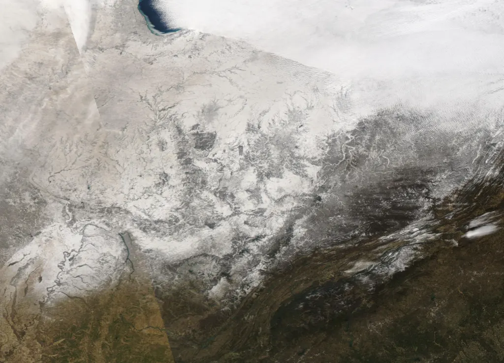
The outlook maps cover temperature and precipitation only, so they do not give snowfall totals. A wet, near-normal South raises the chance of mixed winter weather on cold days, while the warmer, drier Great Lakes and northern Rockies lean against a big snow year. The main wild card, the forecasters write, is high-latitude blocking. The North Atlantic Oscillation turned negative in early November, and a persistent negative phase would push colder air into the Southeast. That is what happened in 2009-10, when a strongly negative Arctic Oscillation brought a cold winter to the Plains and Southeast despite El Niño.
A quick guide to the maps
- Wettest odds: Florida, southern Georgia, coastal Carolinas (more than 70%).
- Warmest odds: northwestern Oregon and Washington to southeastern Alaska (more than 60%).
- Driest odds: northern Rockies and mainland Alaska (more than 50%).
- Least certain: Southwest, southern Plains, Gulf Coast and Southeast temperatures.
Looking further out, the same CPC discussion notes that La Niña has historically followed strong El Niños, and the center’s tools point to a weak to moderate La Niña by the fall of 2027. For a folk-forecast comparison, see the Old Farmer’s Almanac’s White Christmas call. NOAA’s next seasonal outlook is due on December 17.
Sources
- Prognostic Discussion for Long-Lead Seasonal Outlooks, November 19, NOAA Climate Prediction Center, 2026
- Winter Outlook 2026-27 and ENSO’s Effect on Our Weather, National Weather Service Tampa Bay, 2026
Image: MODIS Land Rapid Response Team, NASA GSFC, Public domain via Wikimedia Commons
This article was produced with AI assistance and reviewed by our Editorial Desk. How we work.