Most interactive maps on the web are rented. A site embeds a map from a big provider, pays per view once traffic grows and loses the map if the account lapses. Protomaps, an open source project that has been circulating on developer forums again this week, offers a different deal: a free basemap of the entire planet packed into one file you can drop onto ordinary cloud storage.
The project’s pitch is blunt. “If you know how to use S3, you know how to publish earth-scale, interactive maps,” its homepage says, referring to Amazon’s widely copied file storage service. There is no map server to install or keep patched.
How one file can hold the world
The trick is a format called PMTiles. Web maps are drawn from small square pieces called tiles, sorted by zoom level and by X and Y position. At the most zoomed-out level a few tiles cover the globe; at street level there are hundreds of millions.
The traditional approach stores every tile as its own file in a folder tree. Protomaps’ documentation says that works for small maps but becomes painful at planet scale: uploading a full global set of around 300 million separate tiles “could cost 1,500 USD in request fees and take days.” PMTiles instead keeps the whole pyramid in a single archive and removes duplicate tiles inside it, which the project says cuts the size of a global vector basemap by 70% or more. Think of the empty ocean squares: thousands of identical blue tiles can be stored once.
The browser then asks only for the bytes it needs. PMTiles readers use HTTP range requests, a standard feature of web servers that lets a client fetch one slice of a large file. According to the docs, a reader needs at most two cacheable lookup requests before it reaches the tile it wants, and the internal layout is arranged to keep that overhead low while you pan and zoom.
What you actually get
- The map data: a basemap built from OpenStreetMap and other open sources, free to download in full or cut down to one region with a command line tool.
- The display: plugins for common JavaScript map libraries, with MapLibre GL JS recommended, plus Leaflet and OpenLayers support.
- A hosted option: a cached tile API that is free for noncommercial use; commercial users are asked to become GitHub sponsors.
The format has limits the project states openly. A PMTiles archive is read-only, so changing one road means rewriting the whole file, and anyone needing live edits is pointed toward a database instead. The blog also carries a post titled “You Might Not Want PMTiles,” which is unusually candid for an open source project.
Why this matters if you run a site
For a small business, a hobby project or a local newsroom, the appeal is cost and permanence. Protomaps says companies can cut map bills “from hundreds per month to pennies” on storage they already pay for, and that maps built this way keep working without a third-party API. The caveat is effort: you still choose a style, host a large file and update it yourself when OpenStreetMap changes. The project moved from an open core model to fully open source in February 2024 and received an open source grant from the NLnet foundation the same month.
Badiyaa has looked at other inventive map projects, including a SimCity-style pixel-art map of the San Francisco Bay Area, and more software stories sit on our Tech section page.
The most recent feature on the Protomaps blog is a pmtiles merge command, added in December 2025, for joining several archives into one file.
Further reading
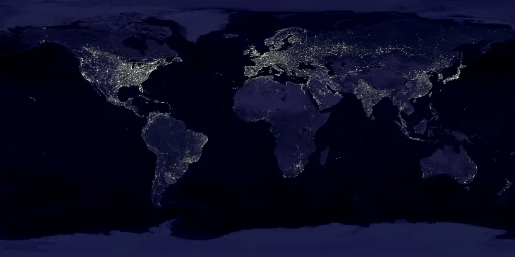
Image: Craig Mayhew and Robert Simmon, NASA GSFC, Public domain via Wikimedia Commons
This article was produced with AI assistance and reviewed by our Editorial Desk. How we work.