A strip of seafloor that looks exactly like a yellow brick road, running across the top of an undersea mountain in the remote Pacific, turns out to be broken volcanic rock. The Ocean Exploration Trust, which runs the exploration ship Nautilus, says the “bricks” are blocks of hyaloclastite, split apart by cracks that meet at right angles.
The team filmed the formation on the summit of Nootka Seamount, part of the Liliʻuokalani Ridge inside Papahānaumokuākea Marine National Monument, northwest of the main Hawaiian Islands, and posted the footage in April 2022. The trust described the ridge as an area nobody had surveyed before. Its own caption plays along with the joke, comparing the pattern to a road to the mythical city of Atlantis before getting to the geology.
How lava turns into “bricks”
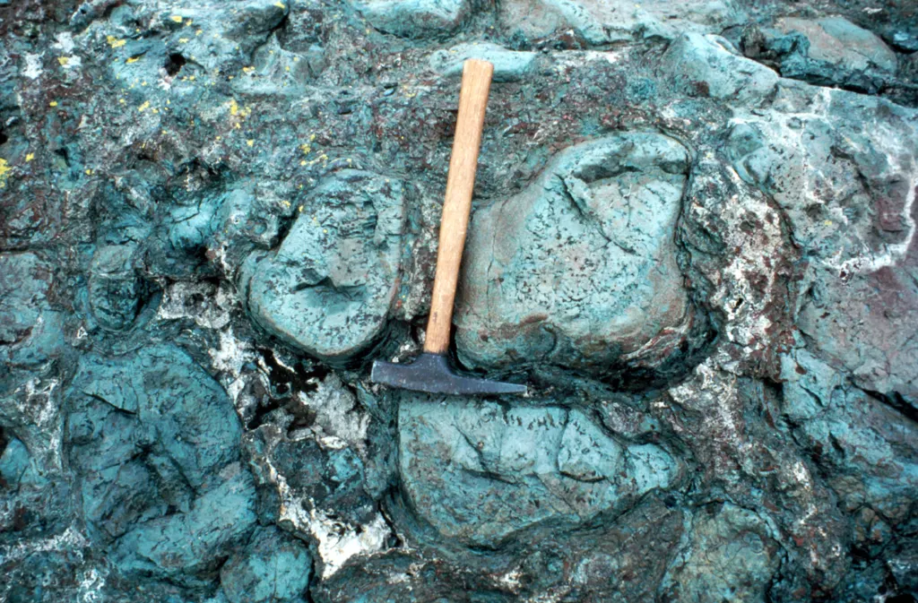
Hyaloclastite forms when lava meets water and shatters. As molten rock is chilled in an instant, its skin breaks into flat, angular shards of volcanic glass, usually somewhere between a millimeter and a few centimeters across. Those shards settle on the seabed and pile up into a layer.
On Nootka, the explorers at first called the surface a “dried lake bed,” because the cracks look like a mudflat that has dried out and split. The trust’s geologists now read it as a fractured flow of hyaloclastite laid down by violent, high-energy eruptions. The tidy 90-degree breaks, the trust says, were most likely caused by stress from heating and cooling as several later eruptions baked the edge of the older rock.
The color has a plausible explanation too. Glass shards in hyaloclastite are often wrapped in a yellow, waxy rind called palagonite, which grows when basalt glass reacts with water. The trust did not name palagonite as the source of the yellow tint on Nootka, so treat that link as a likely explanation rather than a confirmed one.
What else the dives found
The “road” was only one stop on the trip. Along the seamount chain, the team collected basalt coated in ferromanganese crust, a dark iron and manganese layer that builds up slowly on bare rock, from different depths and oxygen levels. One lump of pumice they brought up was so full of holes it looked like a sponge.
Those crusts are the real scientific prize. Researchers want to know which microbes live on and inside them, and how the crusts differ from one ocean basin to another. The trust says that baseline will help managers decide how to protect seamount life. NOAA Ocean Exploration paid for the expedition through the Ocean Exploration Cooperative Institute, with extra support from NOAA’s Office of National Marine Sanctuaries.
Why it matters
Seamounts in this corner of the Pacific are old, deep and rarely visited, so each dive gives scientists a first look at rock and life nobody had recorded. Badiyaa has followed other deep-water baselines, such as the decline of deep-sea fish in the Gulf of Mexico after Deepwater Horizon. The same protected Papahānaumokuākea waters also take in Midway Atoll, where the short-tailed albatross pair George and Geraldine have raised five chicks.
Limits
The explanation comes from the expedition team’s own summary posted with the dive video. It is a field reading of what the cameras and samples showed, not a peer-reviewed paper, and the summary gives no depth or size for the patch of “road.” The yellow color’s chemistry has not been published. Scientists are still studying the crust samples and the microbes living in them, and that lab work is where firmer answers about these seamounts will come from.
Further reading
Illustrative image. Image: USGS, Public domain via Wikimedia Commons
This article was produced with AI assistance and reviewed by our Editorial Desk. How we work.