A round fortress of clay and straw stands alone among the sand dunes of the Algerian Sahara, with walls about 10 meters high, a single door and not one window facing out. Nobody can say for certain who built Ksar Draa, or why.
A photo of the ring-shaped structure drew a crowd on Reddit’s r/Damnthatsinteresting this week, where the caption placed it about 50 kilometers from the oasis town of Timimoun and called its origins unknown. Commenters traded theories about water, caravans and gold, and several compared it to the desert library in the animated series Avatar: The Last Airbender.
What the fortress is made of
Ksar Draa sits in Timimoun province in south-central Algeria. A ksar is a fortified village of the kind built across North Africa’s desert oases, and this one is described as two circular outer walls of sand, straw and clay. The walls rise roughly 10 meters and are up to 2 meters thick. Building materials also included stone, palm wood and packed earth.
The only way in is one entrance. Inside, the ring held living quarters, shared kitchens and a mosque, spread over three levels. From the outside, the blank curved wall gives away almost nothing about the life that once filled it.
Checking the 50-kilometer claim
The caption’s distance checks out against the published coordinates. Ksar Draa sits at about 29°32′ north, 0°11′ east; Timimoun is at about 29°16′ north, 0°14′ west. That is roughly 0.27 degrees of latitude, or about 30 kilometers, and 0.42 degrees of longitude, which at this latitude works out to about 41 kilometers. Put the two together and the straight-line gap is close to 51 kilometers.
Two leading theories
With so few written records, its purpose remains open. One idea holds that it was a relay stop on the trans-Saharan caravan routes, a walled place to rest and draw water. The other suggests it was a refuge for Jewish families driven out of the nearby oasis of Tamantit during their conflict with the cleric Abdelkrim El Maghili.
The caravan theory fits a wider pattern. Gold, salt and goods crossed the Sahara for centuries, the same trade that made figures such as Mansa Musa, the Mali ruler often called the richest person ever, famous far beyond West Africa. The desert keeps other surprises too, from fortresses to a rose-colored meteorite from Mars found in the Sahara.
A hot, dry setting
The region around Timimoun has a hot desert climate. The town gets about 22 millimeters of rain a year on average, and July’s mean daily high is 45.3°C (113.5°F). Timimoun itself is known for the red ochre color of its buildings and is home to about 33,060 people, according to Algeria’s 2008 census.
Ksar Draa reached a wider audience through the French-Algerian documentary L’Algérie vue du ciel (Algeria Seen from the Sky). Its coordinates, 29°32′05″ north and 0°11′01″ east, are the most precise fact on record about it.
Further reading
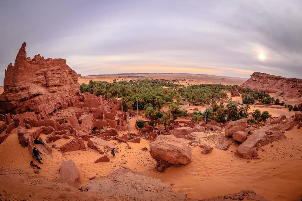
Illustrative image. Image: Chettouh Nabil, CC BY-SA 4.0 via Wikimedia Commons
This article was produced with AI assistance and reviewed by our Editorial Desk. How we work.