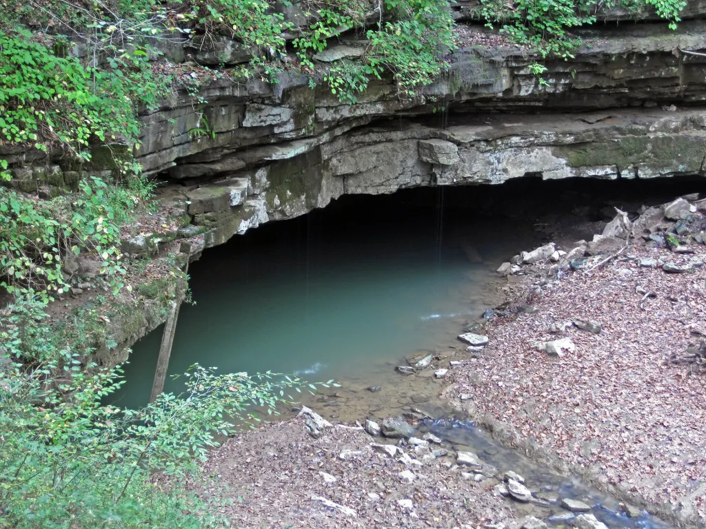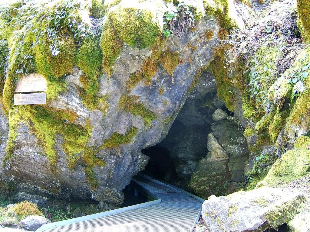
Fluorescent dye poured into mountain streams above Oregon Caves National Monument and Preserve has shown where the cave’s underground River Styx gets its water, and turned up three spots below the cave where that water resurfaces as springs and seeps that had never been recorded. The work, led by US Geological Survey hydrogeologist Benjamin Miller with National Park Service staff, also fixed the river’s recharge area, the stretch of ground whose rain and snowmelt feed it, at 0.51 square miles (1.32 square kilometers).
The River Styx is the part of Cave Creek that runs through the cave in the Siskiyou Mountains of southwestern Oregon, a few miles north of the California line. Congress added it to the National Wild and Scenic Rivers System in 2014, and it is the only underground river in that system. The park summarized the results in August 2025 and the USGS posted its full report on Jan. 15, 2026; the findings are drawing fresh attention online this week.
How 8 dye injections and 42 monitoring sites tracked the river
A cave river is hard to follow because it vanishes into cracks far too tight for people. An earlier dye trace, in 1999, gave ambiguous answers. This time the team began with an inventory of the watershed and settled on 42 monitoring sites, a mix of springs, seeps, cave streams and surface streams. The traces ran in two windows chosen for useful water levels: late 2021 at low flow and spring 2024 at peak snowmelt. Over the project, from 2021 to 2024, the USGS made eight dye injections.
The dyes act like non-toxic food coloring that glows under high-intensity light, and different dyes glow differently, so each injection point can be told apart. Watching for color by eye fails because the dye thins out on its way through the rock.
“By the time the dye has passed through the system, it has become diluted and is actually not able to be seen,” Miller said in the park’s account of the study.
Instead, the team hung charcoal packets at monitoring points to soak up traces too faint to see, and after each injection collected them every 12 hours to catch the dye’s arrival. Particular targets were sinking streams, surface creeks that disappear completely into soil and marble bedrock.
Two caves half a mile apart drink from separate areas
The results drew two recharge areas. Oregon Caves draws on 0.51 square miles, mostly in the upper Cave Creek watershed. A second cave, known as Cave Next Door, draws on 0.69 square miles (1.79 square kilometers), mostly in the upper Panther Creek basin. In acres that is about 326 and 442, a combined 768 acres, or roughly 17 percent of the park’s 4,554 acres. Park staff had suspected the Styx might pass through both caves, yet although the two sit only half a mile (0.8 kilometers) apart, the dye showed no hydrologic connection between them.
Why that matters: if the two caves had shared a supply, a spill or disturbance above one could have affected both. Separate recharge areas mean each cave’s water can be protected by managing a smaller, known patch of land.
Timing surprised the researchers too. They expected dye to travel from injection points to monitors in hours; several traces took weeks. At some sites concentrations kept climbing for months, a sign that water is stored in the rock. The USGS report describes a wide range of groundwater speeds, retention inside the karst aquifer, which is water-bearing rock riddled with dissolved channels, and a significant diffuse-flow component, meaning a good share of water seeps slowly through many small openings instead of racing down a few conduits.
“Our results reveal that the River Styx is hydrologically connected to multiple small streams in the upper Cave Creek watershed,” Miller said.
Why a sinking creek matters to salmon and towns downstream
The headline connection is Cave Creek itself, a sinking stream that the dye proved feeds the River Styx. Cave Creek flows on into the wider watershed, where it supports salmon habitat and supplies water to communities in the Illinois Valley. Knowing exactly which surface ground drains into the cave lets the park weigh activities on that land against risks to the cave’s ecosystem and to water supplies downstream.
What one report on one mountain watershed leaves open
The main document is a 33-page USGS Scientific Investigations Report, a government technical report in a numbered series rather than a paper in an outside journal, and it covers a single watershed. Dye tracing shows which points connect and how long water takes, but not every source. Park scientists wrote that large volumes of water seem to reach the Styx from sections of the cave that people cannot get into, and that some of the water’s origins are still unknown.
The cave itself is the longest in Oregon, with 3.03 miles (4.9 kilometers) of mapped passages formed in marble, and stays near 44°F (7°C) all year. Tours usually run from mid-April to early November, weather permitting, so this season’s remaining chances to walk the raised walkways above the River Styx fall in the next few weeks. The basic ranger-led tour lasts 90 minutes and climbs more than 500 steep, uneven steps, and to protect bats from white-nose syndrome, visitors may not bring any clothing or gear that has been inside another cave or mine.
Further reading
- NPS Park Science: Secrets of the River Styx
- USGS Scientific Investigations Report 2025-5084
- Wikipedia: Oregon Caves National Monument and Preserve
Image: Oregon Caves from Cave Junction, USA, CC BY 2.0 via Wikimedia Commons
This article was produced with AI assistance and reviewed by our Editorial Desk. How we work.
Spot an error? Help verify this story
The story in 5 slides