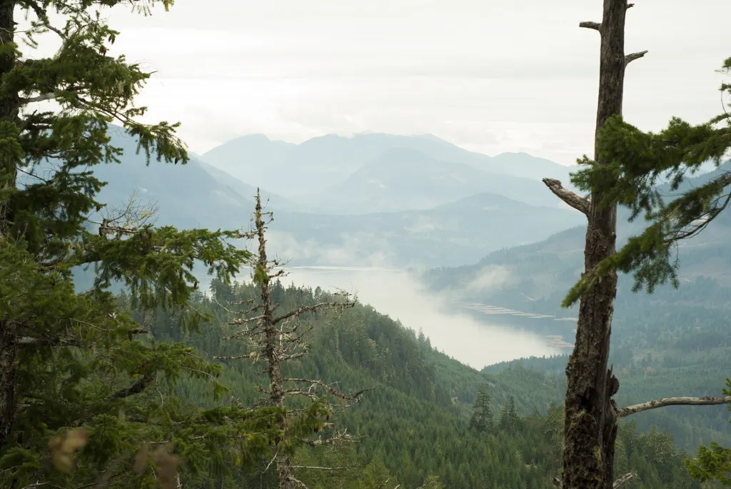
A lake on Vancouver Island, about 23 kilometers southwest of Port Alberni, British Columbia, gets an average of 6,903 millimeters of precipitation a year. That is 271.8 inches, or about 22.6 feet of water, enough to make it the wettest place in North America.
For most of the last century maps called it Henderson Lake. Since 2018 its official name has been Hucuktlis Lake, pronounced roughly “who chook-tlis,” a change made on the recommendation of the Uchucklesaht First Nation and backed by the Alberni-Clayoquot Regional District.
A name that started with a map mistake
The Henderson name itself was a correction. A 1912 map of the region got the lake wrong, and in 1917 Henderson Lake was adopted as the official name to fix it. Hucuktlis means “place way inside,” a reference to how far inland the lake sits from the inlet it drains into. The Uchucklesaht traditionally used the lake and the mountains around it for spiritual practice.
The geography explains the water. Clemens Creek feeds the lake’s northern tip, and the Hucuktlis River carries it south into Uchucklesit Inlet, an arm of the long Alberni Inlet that cuts into the island from the Pacific side. Moist air coming off the ocean meets steep coastal mountains and dumps its load.
The numbers, put in perspective
The rain figures come from a fish hatchery at the lake that kept weather records. A few comparisons show how extreme they are:
- Spread evenly, 6,903 mm a year works out to about 18.9 mm every single day.
- Ashcroft, the driest place in British Columbia, averages 208 mm a year. Hucuktlis Lake gets about 33 times as much, in the same province.
- In 1997 the lake recorded a Canadian all-time annual record. Its own reference entry puts that year at 9,307 mm, while Canada’s national table of weather extremes lists 9,479 mm. Either figure is roughly 35% to 37% above the lake’s average.
That 1997 total, at either number, is more than 30 feet of water in twelve months.
Vancouver Island keeps producing strange stories. Badiyaa has reported on an island woman who scared off a cougar by playing Metallica on her phone, and on an elk that kept a British Columbia resident stuck indoors for hours.
Wet, but not the wettest on Earth
For all its rain, Hucuktlis Lake holds a continental title, not a global one. Its average sits on a list of the wettest places on Earth that is led by spots in tropical monsoon regions. On its own continent, though, nowhere else matches it.
The province also holds Canada’s record for the heaviest single day of rain: 489.2 mm at Ucluelet Brynnor Mines, on the same island’s west coast, on October 6, 1967.
Further reading
Illustrative image. Image: Scott Darbey from Canada, CC BY 2.0 via Wikimedia Commons
This article was produced with AI assistance and reviewed by our Editorial Desk. How we work.